 vesseltracker.com
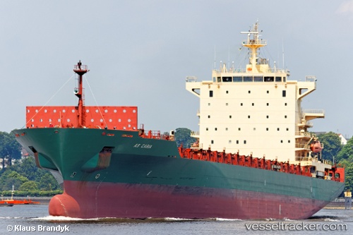
Vessel Harmony N IMO: 9309411, MMSI: 636019289 Container Ship
UTC, 41.75333, 30.83333, course: -1, speed: 14
UTC, 41.55505, 30.01034, course: 250, speed: 14.4
2026-02-12 08:03:56 UTC, 41.44363, 29.42864, course: 267, speed: 14.5
Live AIS position:
UTC. 18 nm NW of SILE),
updated 2026-02-12 08:03:56 UTC.
Find the position of the vessel Harmony N on the map. The latter are known coordinates and path.
marine traffic ship tracker show on live map
The current position of vessel Harmony N is 41.44363 lat / 29.42864 lng. Updated: 2026-02-12 08:03:56 UTCCurrently sailing under the flag of Liberia
Harmony N built in 2006 year
Deadweight:
39420 tDetails:
Last coordinates of the vessel:
UTC, 41.89232, 31.45517, course: 256, speed: 14.2UTC, 41.75333, 30.83333, course: -1, speed: 14
UTC, 41.55505, 30.01034, course: 250, speed: 14.4
2026-02-12 08:03:56 UTC, 41.44363, 29.42864, course: 267, speed: 14.5