 vesseltracker.com
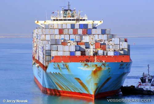
 Maersk Denver
Current Status
Where is the vessel?
Maersk Denver is currently in 48 nm SE of Gulfmex Lightering Area, based on AIS data received less than 1h ago.
Latest AIS update:
Current position: 27.03945° N, 90.42035° W (48 nm SE of Gulfmex Lightering Area)
Average speed (last 7 days): Loading…
Average speed (last 30 days): Loading…
Vessel profile: Maersk Denver is a Container Ship with dimensions 299m x 299m.
This page combines live AIS, route history, probable destination signals, nearby traffic, and port activity for practical vessel monitoring.
The current position of vessel Maersk Denver is 27.03945 lat / -90.42035 lng. Updated: 2026-05-17 19:28:06 UTCNearest reference points:
- 94 nm S of Gulfmex Lightering Area
- 124 nm SW of Gulfmex Lightering Area
- 66 nm NW of Gulfmex Lightering Area
Currently sailing under the flag of USA ![]()
Maersk Denver built in 2007 year
Deadweight:
84771 tDetails:
Live Vessel Maersk Denver Analytics (details, animations, etc.)
Recent AIS points (UTC):
2026-05-17 16:04:46 UTC · 26.68833, -89.47833 · SOG 1 kn · COG -1°2026-05-17 17:23:42 UTC · 26.80658, -89.79105 · SOG 17.8 kn · COG 293°
2026-05-17 19:11:19 UTC · 27.00333, -90.33833 · SOG 18 kn · COG -1°
2026-05-17 19:28:06 UTC · 27.03945, -90.42035 · SOG 17.5 kn · COG 296°