 vesseltracker.com
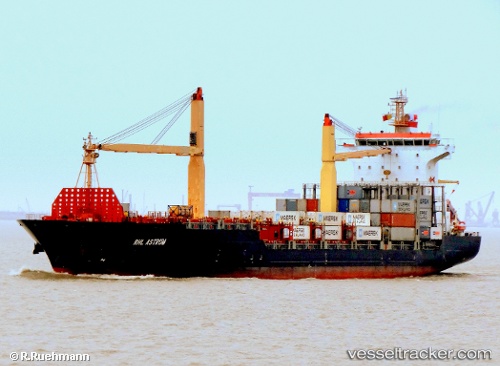
 MSC KYMEA
Current Status
Where is the vessel?
MSC KYMEA is currently in Near Colombo, based on AIS data received less than 1h ago.
Latest AIS update:
Current position: 7.00667° N, 79.72833° E (Near Colombo)
Average speed (last 7 days): Loading…
Average speed (last 30 days): Loading…
Vessel profile: MSC KYMEA is a Container Ship with dimensions 178m x 178m.
This page combines live AIS, route history, probable destination signals, nearby traffic, and port activity for practical vessel monitoring.
The current position of vessel MSC KYMEA is 7.00667 lat / 79.72833 lng. Updated: 2026-05-17 15:23:20 UTCNearest reference points:
- 19 nm SW of Bataduwa
- 67 nm SW of Moratuwa
- 38 nm SW of Galle
Currently sailing under the flag of Liberia ![]()
MSC KYMEA built in 2006 year
Deadweight:
23639 tDetails:
Live Vessel MSC KYMEA Analytics (details, animations, etc.)
Recent AIS points (UTC):
2026-05-17 12:16:25 UTC · 7.00765, 79.72815 · SOG 0 kn · COG 209°2026-05-17 13:20:20 UTC · 7.00667, 79.72833 · SOG 0 kn · COG -1°
2026-05-17 14:10:28 UTC · 7.00754, 79.72826 · SOG 0 kn · COG 221°
2026-05-17 15:23:20 UTC · 7.00667, 79.72833 · SOG 0 kn · COG -1°