 vesseltracker.com
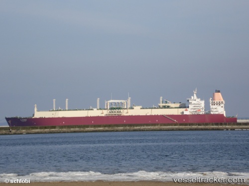
Al Ghariya
Current StatusWhere is the vessel?
Al Ghariya is currently in 223 nm SE of Ile Desroches, based on AIS data received less than 1h ago.
Latest AIS update:
Current position: 8.51167° S, 56.10333° E (223 nm SE of Ile Desroches)
Average speed (last 7 days): Loading…
Average speed (last 30 days): Loading…
Vessel profile: Al Ghariya is a Lng Tanker with dimensions 50m x 315m.
This page combines live AIS, route history, probable destination signals, nearby traffic, and port activity for practical vessel monitoring.
The current position of vessel Al Ghariya is -8.51167 lat / 56.10333 lng. Updated: 2026-05-17 22:23:25 UTCNearest reference points:
- 217 nm SE of Ile Desroches
- 130 nm S of Ile Desroches
- Open sea, approx. 401 nm off the nearest listed port
Details:
Live Vessel Al Ghariya Analytics (details, animations, etc.)
Recent AIS points (UTC):
2026-05-17 19:23:54 UTC · -8.54947, 56.11478 · SOG 0.8 kn · COG 74°2026-05-17 19:56:28 UTC · -8.54167, 56.11167 · SOG 0 kn · COG -1°
2026-05-17 22:17:29 UTC · -8.51333, 56.10500 · SOG 0 kn · COG -1°
2026-05-17 22:23:25 UTC · -8.51167, 56.10333 · SOG 1 kn · COG -1°