 vesseltracker.com
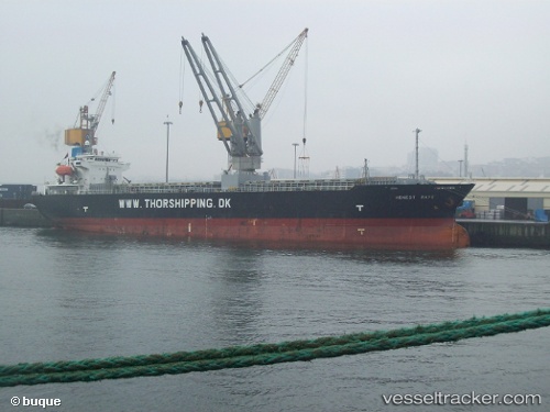
Tai Hang Shan
Current StatusWhere is the vessel?
Tai Hang Shan is currently in Near Jingjiang, based on AIS data received less than 1h ago.
Latest AIS update:
Current position: 31.04094° N, 122.25413° E (Near Jingjiang)
Average speed (last 7 days): Loading…
Average speed (last 30 days): Loading…
Vessel profile: Tai Hang Shan is a General Cargo Ship with dimensions 20m x 120m.
This page combines live AIS, route history, probable destination signals, nearby traffic, and port activity for practical vessel monitoring.
The current position of vessel Tai Hang Shan is 31.04094 lat / 122.25413 lng. Updated: 2026-05-17 23:43:54 UTCNearest reference points:
- 14 nm W of Jingjiang
- 10 nm NW of Jingjiang
- 10 nm N of YANGSHAN
Details:
Live Vessel Tai Hang Shan Analytics (details, animations, etc.)
Recent AIS points (UTC):
2026-05-17 19:31:46 UTC · 31.06912, 122.72453 · SOG 0.3 kn · COG 237°2026-05-17 20:44:24 UTC · 31.06717, 122.72479 · SOG 1 kn · COG 225°
2026-05-17 23:01:53 UTC · 31.03034, 122.38728 · SOG 10.3 kn · COG 290°
2026-05-17 23:43:54 UTC · 31.04094, 122.25413 · SOG 7.7 kn · COG 265°