 vesseltracker.com
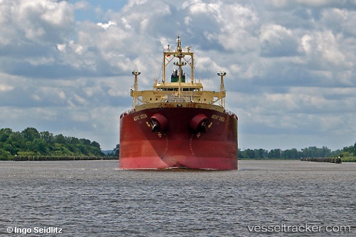
 VELOS TOPAZ
Current Status
Where is the vessel?
VELOS TOPAZ is currently in 87 nm SW of Los Ramos, based on AIS data received less than 1h ago.
Latest AIS update:
Current position: 37.06785° N, 11.77243° W (87 nm SW of Los Ramos)
Average speed (last 7 days): Loading…
Average speed (last 30 days): Loading…
Vessel profile: VELOS TOPAZ is a Oil/Chemical Tanker with dimensions m x m.
This page combines live AIS, route history, probable destination signals, nearby traffic, and port activity for practical vessel monitoring.
The current position of vessel VELOS TOPAZ is 37.06785 lat / -11.77243 lng. Updated: 2026-05-17 10:02:00 UTCNearest reference points:
- 97 nm W of Los Ramos
- 95 nm W of Los Ramos
- 94 nm W of Los Ramos
Currently sailing under the flag of Greece ![]()
Details:
Live Vessel VELOS TOPAZ Analytics (details, animations, etc.)
Recent AIS points (UTC):
2026-05-17 06:28:55 UTC · 37.12694, -11.76999 · SOG 0.8 kn · COG 280°2026-05-17 07:39:07 UTC · 37.10940, -11.77212 · SOG 1 kn · COG 279°
2026-05-17 10:02:00 UTC · 37.06785, -11.77243 · SOG 1.2 kn · COG 276°
2026-05-17 10:02:00 UTC · 37.06785, -11.77243 · SOG 1.2 kn · COG 276°