 vesseltracker.com
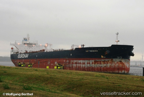
Cap Theodora
Current StatusWhere is the vessel?
Cap Theodora is currently in 135 nm SE of Willow Street, based on AIS data received less than 1h ago.
Latest AIS update:
Current position: 29.64978° N, 74.16710° W (135 nm SE of Willow Street)
Average speed (last 7 days): Loading…
Average speed (last 30 days): Loading…
Vessel profile: Cap Theodora is a Crude Oil Tanker with dimensions 46m x 274m.
This page combines live AIS, route history, probable destination signals, nearby traffic, and port activity for practical vessel monitoring.
The current position of vessel Cap Theodora is 29.64978 lat / -74.16710 lng. Updated: 2026-05-17 13:34:41 UTCNearest reference points:
- 113 nm NE of Green Turtle Cay
Details:
Live Vessel Cap Theodora Analytics (details, animations, etc.)
Recent AIS points (UTC):
2026-05-17 10:20:41 UTC · 30.02077, -73.57577 · SOG 12 kn · COG 234°2026-05-17 11:29:42 UTC · 29.88402, -73.78788 · SOG 11.7 kn · COG 234°
2026-05-17 13:26:12 UTC · 29.66435, -74.14042 · SOG 11.6 kn · COG 239°
2026-05-17 13:34:41 UTC · 29.64978, -74.16710 · SOG 11.5 kn · COG 238°