 vesseltracker.com
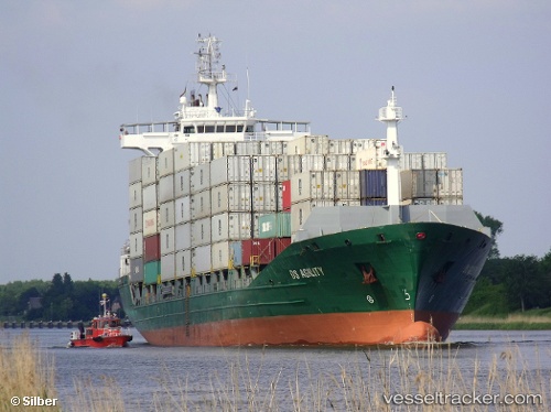
Vessel Contship Top IMO: 9395616, MMSI: 636018000 Container Ship
UTC, 54.24997, -0.09716, course: 321, speed: 7.8
UTC, 54.49450, -0.41658, course: 329, speed: 8.3
2026-02-08 09:28:46 UTC, 54.62667, -0.55167, course: -1, speed: 8
Live AIS position:
UTC. Near Brandesburton),
updated 2026-02-08 09:28:46 UTC.
Find the position of the vessel Contship Top on the map. The latter are known coordinates and path.
marine traffic ship tracker show on live map
The current position of vessel Contship Top is 54.62667 lat / -0.55167 lng. Updated: 2026-02-08 09:28:46 UTCCurrently sailing under the flag of Liberia
Contship Top built in 2008 year
Deadweight:
13856 tDetails:
Last coordinates of the vessel:
UTC, 54.01126, 0.16891, course: 332, speed: 9.1UTC, 54.24997, -0.09716, course: 321, speed: 7.8
UTC, 54.49450, -0.41658, course: 329, speed: 8.3
2026-02-08 09:28:46 UTC, 54.62667, -0.55167, course: -1, speed: 8