 vesseltracker.com
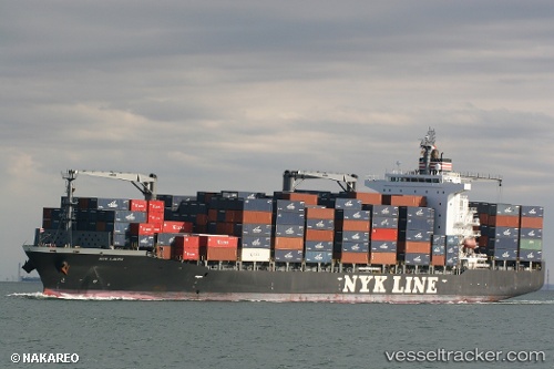
 NYK LAURA
Current Status
Where is the vessel?
NYK LAURA is currently in 50 nm E of LA PLAYA, based on AIS data received less than 1h ago.
Latest AIS update:
Current position: 22.75325° N, 108.82859° W (50 nm E of LA PLAYA)
Average speed (last 7 days): Loading…
Average speed (last 30 days): Loading…
Vessel profile: NYK LAURA is a Container Ship with dimensions 210m x 30m.
This page combines live AIS, route history, probable destination signals, nearby traffic, and port activity for practical vessel monitoring.
The current position of vessel NYK LAURA is 22.75325 lat / -108.82859 lng. Updated: 2026-05-17 01:23:04 UTCNearest reference points:
- Near LA PLAYA
- Near San Jose del Cabo
- Near Los Cabos
Currently sailing under the flag of Marshall Islands ![]()
NYK LAURA built in 2009 year
Deadweight:
34576 tDetails:
Live Vessel NYK LAURA Analytics (details, animations, etc.)
Recent AIS points (UTC):
2026-05-16 21:43:04 UTC · 22.62437, -109.69137 · SOG 13.3 kn · COG 81°2026-05-16 22:35:46 UTC · 22.65607, -109.47773 · SOG 13.7 kn · COG 82°
2026-05-17 00:01:05 UTC · 22.70524, -109.13819 · SOG 12.7 kn · COG 89°
2026-05-17 01:23:04 UTC · 22.75325, -108.82859 · SOG 12.6 kn · COG 83°