 vesseltracker.com
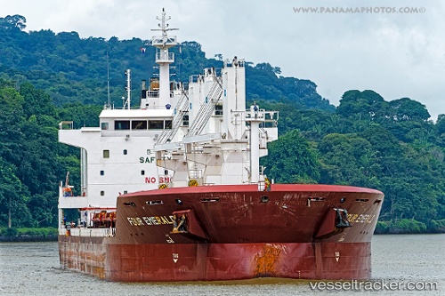
 LADY SINEM
Current Status
Where is the vessel?
LADY SINEM is currently in 36 nm NE of The Valley, based on AIS data received about 1h ago.
Latest AIS update:
Current position: 18.58533° N, 62.54817° W (36 nm NE of The Valley)
Average speed (last 7 days): Loading…
Average speed (last 30 days): Loading…
Vessel profile: LADY SINEM is a General Cargo Ship with dimensions 30m x 180m.
This page combines live AIS, route history, probable destination signals, nearby traffic, and port activity for practical vessel monitoring.
The current position of vessel LADY SINEM is 18.58533 lat / -62.54817 lng. Updated: 2026-05-17 21:52:47 UTCNearest reference points:
- Near GUSTAVIA
- Near ST MAARTEN
- 126 nm NE of Sombrero
Currently sailing under the flag of Marshall Islands ![]()
LADY SINEM built in 2013 year
Deadweight:
38009 tDetails:
Live Vessel LADY SINEM Analytics (details, animations, etc.)
Recent AIS points (UTC):
2026-05-17 19:03:18 UTC · 18.75800, -62.98633 · SOG 9.7 kn · COG 112°2026-05-17 19:57:59 UTC · 18.70133, -62.84417 · SOG 9.7 kn · COG 113°
2026-05-17 21:52:47 UTC · 18.58533, -62.54817 · SOG 9.2 kn · COG 114°
2026-05-17 21:52:47 UTC · 18.58533, -62.54817 · SOG 9.2 kn · COG 114°