 vesseltracker.com
 Heerengracht
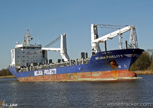
Current Status
Where is the vessel?
Heerengracht is currently in Near Newburgh Heights, based on AIS data received about 1h ago.
Latest AIS update:
Current position: 41.50679° N, 81.70325° W (Near Newburgh Heights)
Average speed (last 7 days): Loading…
Average speed (last 30 days): Loading…
Vessel profile: Heerengracht is a Heavy Load Carrier with dimensions 138m x 21m.
This page combines live AIS, route history, probable destination signals, nearby traffic, and port activity for practical vessel monitoring.
The current position of vessel Heerengracht is 41.50679 lat / -81.70325 lng. Updated: 2026-05-17 07:40:11 UTCNearest reference points:
- Near Linndale
- Near Scudder
- Near Put-In-Bay
Currently sailing under the flag of Netherlands ![]()
Heerengracht built in 2009 year
Deadweight:
12678 tDetails:
Live Vessel Heerengracht Analytics (details, animations, etc.)
Recent AIS points (UTC):
2026-05-17 05:13:09 UTC · 41.50696, -81.70339 · SOG 0.2 kn · COG 147°2026-05-17 05:42:15 UTC · 41.50667, -81.70167 · SOG 0 kn · COG -1°
2026-05-17 07:31:08 UTC · 41.50679, -81.70325 · SOG 0 kn · COG 145°
2026-05-17 07:40:11 UTC · 41.50679, -81.70325 · SOG 0 kn · COG 145°