 vesseltracker.com
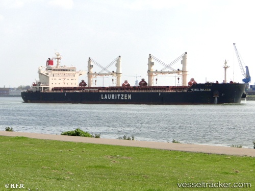
 KIRA OCEAN
Current Status
Where is the vessel?
KIRA OCEAN is currently in Near GULEI, based on AIS data received about 1h ago.
Latest AIS update:
Current position: 23.76855° N, 117.58018° E (Near GULEI)
Average speed (last 7 days): Loading…
Average speed (last 30 days): Loading…
Vessel profile: KIRA OCEAN is a Bulk Carrier with dimensions m x m.
This page combines live AIS, route history, probable destination signals, nearby traffic, and port activity for practical vessel monitoring.
The current position of vessel KIRA OCEAN is 23.76855 lat / 117.58018 lng. Updated: 2026-05-18 01:51:14 UTCNearest reference points:
- Near DONGSHAN
- Near GULEI
- Near Nanao Pt
Currently sailing under the flag of Marshall Islands ![]()
Details:
Live Vessel KIRA OCEAN Analytics (details, animations, etc.)
Recent AIS points (UTC):
2026-05-17 22:11:11 UTC · 23.76854, 117.58020 · SOG 0 kn · COG 358°2026-05-18 00:05:08 UTC · 23.76855, 117.58020 · SOG 0 kn · COG 358°
2026-05-18 01:36:15 UTC · 23.76854, 117.58024 · SOG 0 kn · COG 358°
2026-05-18 01:51:14 UTC · 23.76855, 117.58018 · SOG 0 kn · COG 358°