 vesseltracker.com
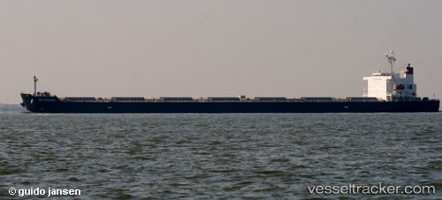
Belgravia
Current StatusWhere is the vessel?
Belgravia is currently in 163 nm SE of Fort Dauphin, based on AIS data received about 1h ago.
Latest AIS update:
Current position: 27.01368° S, 49.06397° E (163 nm SE of Fort Dauphin)
Average speed (last 7 days): Loading…
Average speed (last 30 days): Loading…
Vessel profile: Belgravia is a Bulk Carrier with dimensions 45m x 291m.
This page combines live AIS, route history, probable destination signals, nearby traffic, and port activity for practical vessel monitoring.
The current position of vessel Belgravia is -27.01368 lat / 49.06397 lng. Updated: 2026-05-17 16:13:38 UTCNearest reference points:
- 174 nm S of Ambovombe
Details:
Live Vessel Belgravia Analytics (details, animations, etc.)
Recent AIS points (UTC):
2026-05-17 13:18:47 UTC · -26.74500, 49.59997 · SOG 11.7 kn · COG 244°2026-05-17 13:37:37 UTC · -26.77190, 49.53810 · SOG 11.2 kn · COG 244°
2026-05-17 15:54:08 UTC · -26.98157, 49.12343 · SOG 11.5 kn · COG 238°
2026-05-17 16:13:38 UTC · -27.01368, 49.06397 · SOG 11.3 kn · COG 239°