 vesseltracker.com
 Paleisgracht
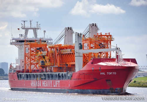
Current Status
Where is the vessel?
Paleisgracht is currently in 16 nm SE of Kakap Natuna Terminal, based on AIS data received less than 1h ago.
Latest AIS update:
Current position: 4.84667° N, 106.15667° E (16 nm SE of Kakap Natuna Terminal)
Average speed (last 7 days): Loading…
Average speed (last 30 days): Loading…
Vessel profile: Paleisgracht is a Heavy Load Carrier with dimensions 168m x 26m.
This page combines live AIS, route history, probable destination signals, nearby traffic, and port activity for practical vessel monitoring.
The current position of vessel Paleisgracht is 4.84667 lat / 106.15667 lng. Updated: 2026-05-18 07:50:04 UTCNearest reference points:
- 45 nm E of Kakap Natuna Terminal
- 46 nm E of Kakap Natuna Terminal
- Near Anoa Natuna Pt.
Currently sailing under the flag of Netherlands ![]()
Paleisgracht built in 2011 year
Deadweight:
19496 tDetails:
Live Vessel Paleisgracht Analytics (details, animations, etc.)
Recent AIS points (UTC):
2026-05-18 04:15:19 UTC · 4.20492, 105.76520 · SOG 12.4 kn · COG 3°2026-05-18 06:19:18 UTC · 4.58973, 105.95950 · SOG 12.8 kn · COG 37°
2026-05-18 07:09:38 UTC · 4.73228, 106.07019 · SOG 12.7 kn · COG 38°
2026-05-18 07:50:04 UTC · 4.84667, 106.15667 · SOG 12 kn · COG -1°