 vesseltracker.com
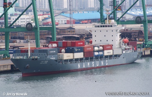
 Star Clipper
Current Status
Where is the vessel?
Star Clipper is currently in 16 nm NW of Chuja, based on AIS data received less than 1h ago.
Latest AIS update:
Current position: 34.11520° N, 126.04547° E (16 nm NW of Chuja)
Average speed (last 7 days): Loading…
Average speed (last 30 days): Loading…
Vessel profile: Star Clipper is a Container Ship with dimensions 142m x 22m.
This page combines live AIS, route history, probable destination signals, nearby traffic, and port activity for practical vessel monitoring.
The current position of vessel Star Clipper is 34.11520 lat / 126.04547 lng. Updated: 2026-05-17 23:44:09 UTCNearest reference points:
- 17 nm W of Chuja
- 13 nm NW of Aewol
- Near Galdoo
Currently sailing under the flag of Marshall Is ![]()
Details:
Live Vessel Star Clipper Analytics (details, animations, etc.)
Recent AIS points (UTC):
2026-05-17 20:10:22 UTC · 34.11077, 127.00220 · SOG 13.4 kn · COG 255°2026-05-17 21:31:51 UTC · 34.07861, 126.65260 · SOG 13.3 kn · COG 260°
2026-05-17 23:02:09 UTC · 34.10962, 126.24238 · SOG 13.9 kn · COG 273°
2026-05-17 23:44:09 UTC · 34.11520, 126.04547 · SOG 14.7 kn · COG 271°