 vesseltracker.com
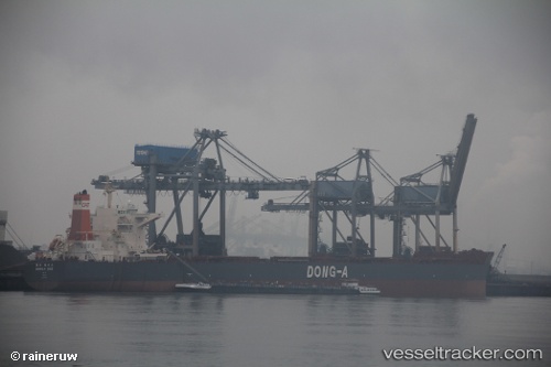
 CAPE AROLA
Current Status
Where is the vessel?
CAPE AROLA is currently in 14 nm W of Buchanan, based on AIS data received about 3h ago.
Latest AIS update:
Current position: 5.82217° N, 10.29550° W (14 nm W of Buchanan)
Average speed (last 7 days): Loading…
Average speed (last 30 days): Loading…
Vessel profile: CAPE AROLA is a Bulk Carrier with dimensions 45m x 292m.
This page combines live AIS, route history, probable destination signals, nearby traffic, and port activity for practical vessel monitoring.
The current position of vessel CAPE AROLA is 5.82217 lat / -10.29550 lng. Updated: 2026-05-17 10:04:01 UTCNearest reference points:
- 15 nm SW of Buchanan
- 110 nm SW of River Cess
- 98 nm SW of Harper
Currently sailing under the flag of Liberia ![]()
CAPE AROLA built in 2009 year
Deadweight:
179329 tDetails:
Live Vessel CAPE AROLA Analytics (details, animations, etc.)
Recent AIS points (UTC):
2026-05-17 08:07:02 UTC · 5.82247, -10.29485 · SOG 0.1 kn · COG 180°2026-05-17 10:04:01 UTC · 5.82217, -10.29550 · SOG 0 kn · COG 164°
2026-05-17 10:04:01 UTC · 5.82217, -10.29550 · SOG 0 kn · COG 164°
2026-05-17 10:04:01 UTC · 5.82217, -10.29550 · SOG 0 kn · COG 164°