 vesseltracker.com
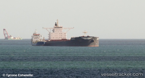
 PAROS
PAROS
Current Status
Where is the vessel?
PAROS is currently in 25 nm S of Goudiniweg, based on AIS data received less than 1h ago.
Latest AIS update:
Current position: 35.00008° S, 19.45920° E (25 nm S of Goudiniweg)
Average speed (last 7 days): Loading…
Average speed (last 30 days): Loading…
Vessel profile: PAROS is a Bulk Carrier with dimensions m x m.
This page combines live AIS, route history, probable destination signals, nearby traffic, and port activity for practical vessel monitoring.
The current position of vessel PAROS is -35.00008 lat / 19.45920 lng. Updated: 2026-05-18 03:41:34 UTCNearest reference points:
- 15 nm SE of Moorreesburg
- Near Mitchells Plain
- 18 nm SW of Cape Of Good Hope
Currently sailing under the flag of Liberia ![]()
Details:
Live Vessel PAROS Analytics (details, animations, etc.)
Recent AIS points (UTC):
2026-05-17 23:21:54 UTC · -34.77363, 18.60630 · SOG 9.5 kn · COG 108°2026-05-18 01:43:53 UTC · -34.89559, 19.06865 · SOG 10.5 kn · COG 109°
2026-05-18 02:15:30 UTC · -34.92355, 19.17518 · SOG 10.5 kn · COG 107°
2026-05-18 03:41:34 UTC · -35.00008, 19.45920 · SOG 10.1 kn · COG 111°