 vesseltracker.com
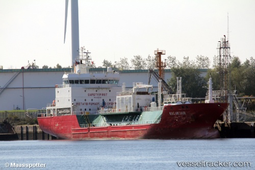
King Arthur
Current StatusWhere is the vessel?
King Arthur is currently in 19 nm W of Rota, based on AIS data received about 1h ago.
Latest AIS update:
Current position: 36.51919° N, 6.70064° W (19 nm W of Rota)
Average speed (last 7 days): Loading…
Average speed (last 30 days): Loading…
Vessel profile: King Arthur is a Lpg Tanker with dimensions 16m x 103m.
This page combines live AIS, route history, probable destination signals, nearby traffic, and port activity for practical vessel monitoring.
The current position of vessel King Arthur is 36.51919 lat / -6.70064 lng. Updated: 2026-05-17 19:50:17 UTCNearest reference points:
- Near CHIPIONA
- Near Cadiz
- Near El Puerto de Santa María
Details:
Live Vessel King Arthur Analytics (details, animations, etc.)
Recent AIS points (UTC):
2026-05-17 16:22:07 UTC · 37.16732, -6.90776 · SOG 0 kn · COG 308°2026-05-17 17:41:48 UTC · 36.98754, -6.80020 · SOG 13.2 kn · COG 176°
2026-05-17 19:40:47 UTC · 36.55417, -6.71108 · SOG 13.5 kn · COG 172°
2026-05-17 19:50:17 UTC · 36.51919, -6.70064 · SOG 13.6 kn · COG 169°