 vesseltracker.com
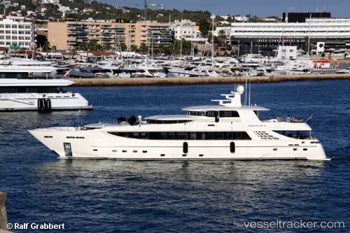
 ROYA ET SOFIA
Current Status
Where is the vessel?
ROYA ET SOFIA is currently in Near Arma di Taggia, based on AIS data received about 18h ago.
Latest AIS update:
Current position: 43.81920° N, 7.83681° E (Near Arma di Taggia)
Average speed (last 7 days): Loading…
Average speed (last 30 days): Loading…
Vessel profile: ROYA ET SOFIA is a Yacht with dimensions m x m.
This page combines live AIS, route history, probable destination signals, nearby traffic, and port activity for practical vessel monitoring.
The current position of vessel ROYA ET SOFIA is 43.81920 lat / 7.83681 lng. Updated: 2026-05-16 13:16:06 UTCNearest reference points:
- Near Arma di Taggia
- Near Riva Ligure
- Near SANREMO
Currently sailing under the flag of Cayman Islands ![]()
Details:
Live Vessel ROYA ET SOFIA Analytics (details, animations, etc.)
Recent AIS points (UTC):
2026-05-16 13:16:06 UTC · 43.81920, 7.83681 · SOG 0 kn · COG -1°2026-05-16 13:16:06 UTC · 43.81920, 7.83681 · SOG 0 kn · COG -1°
2026-05-16 13:16:06 UTC · 43.81920, 7.83681 · SOG 0 kn · COG -1°
2026-05-16 13:16:06 UTC · 43.81920, 7.83681 · SOG 0 kn · COG -1°