 vesseltracker.com
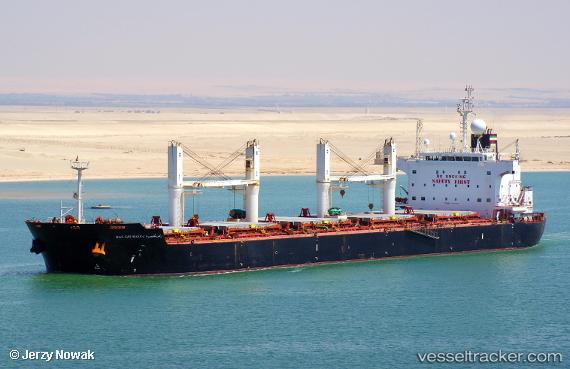
Vessel Ras Ghumays i IMO: 9494034, MMSI: 636014922 Bulk Carrier
UTC, 29.78271, 122.09057, course: 275, speed: 0.1
UTC, 29.78272, 122.09054, course: -1, speed: 0.1
2026-02-26 09:39:05 UTC, 29.78269, 122.09048, course: 275, speed: 0.1
Live AIS position:
UTC. Near Daxie Pt),
updated 2026-02-26 09:39:05 UTC.
Find the position of the vessel Ras Ghumays i on the map. The latter are known coordinates and path.
marine traffic ship tracker show on live map
The current position of vessel Ras Ghumays i is 29.78269 lat / 122.09048 lng. Updated: 2026-02-26 09:39:05 UTCCurrently sailing under the flag of Liberia
Ras Ghumays i built in 2011 year
Deadweight:
57423 tDetails:
Last coordinates of the vessel:
UTC, 29.78273, 122.09047, course: 275, speed: 0UTC, 29.78271, 122.09057, course: 275, speed: 0.1
UTC, 29.78272, 122.09054, course: -1, speed: 0.1
2026-02-26 09:39:05 UTC, 29.78269, 122.09048, course: 275, speed: 0.1