 vesseltracker.com
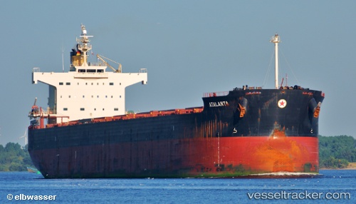
 M EXPLORER
Current Status
Where is the vessel?
M EXPLORER is currently in 72 nm NE of Attu Island, based on AIS data received about 2h ago.
Latest AIS update:
Current position: 54.03833° N, 174.17166° E (72 nm NE of Attu Island)
Average speed (last 7 days): Loading…
Average speed (last 30 days): Loading…
Vessel profile: M EXPLORER is a Bulk Carrier with dimensions m x m.
This page combines live AIS, route history, probable destination signals, nearby traffic, and port activity for practical vessel monitoring.
The current position of vessel M EXPLORER is 54.03833 lat / 174.17166 lng. Updated: 2026-05-18 01:49:10 UTCNearest reference points:
- 57 nm SW of Zagorow
Details:
Live Vessel M EXPLORER Analytics (details, animations, etc.)
Recent AIS points (UTC):
2026-05-17 22:58:06 UTC · 54.05861, 175.11261 · SOG 11.8 kn · COG 267°2026-05-17 23:53:54 UTC · 54.05402, 174.80415 · SOG 11.6 kn · COG 265°
2026-05-18 01:29:25 UTC · 54.04112, 174.28165 · SOG 11.6 kn · COG 266°
2026-05-18 01:49:10 UTC · 54.03833, 174.17166 · SOG 11 kn · COG -1°