 vesseltracker.com
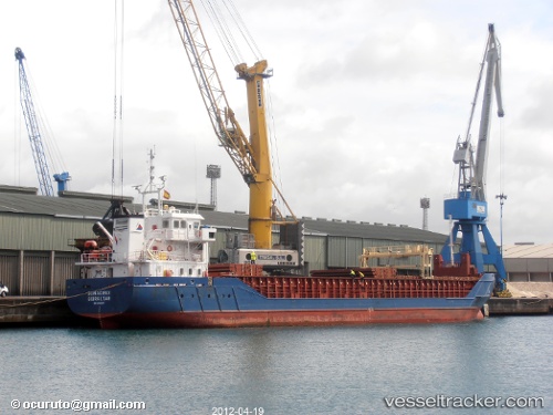
Vessel Bonacieux IMO: 9505297, MMSI: 236553000 Multi Purpose Carrier
UTC, 53.44640, 14.58389, course: -1, speed: 0
UTC, 53.44640, 14.58389, course: -1, speed: 0
2026-02-02 05:35:20 UTC, 53.44640, 14.58389, course: -1, speed: 0
Live AIS position:
UTC. Near Szczecin),
updated 2026-02-02 05:35:20 UTC.
Find the position of the vessel Bonacieux on the map. The latter are known coordinates and path.
marine traffic ship tracker show on live map
The current position of vessel Bonacieux is 53.44640 lat / 14.58389 lng. Updated: 2026-02-02 05:35:20 UTCCurrently sailing under the flag of Gibraltar
Bonacieux built in 2009 year
Deadweight:
3171 tDetails:
Last coordinates of the vessel:
UTC, 53.44640, 14.58389, course: -1, speed: 0UTC, 53.44640, 14.58389, course: -1, speed: 0
UTC, 53.44640, 14.58389, course: -1, speed: 0
2026-02-02 05:35:20 UTC, 53.44640, 14.58389, course: -1, speed: 0