 vesseltracker.com
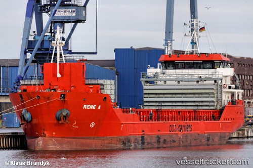
Vessel Celine IMO: 9508653, MMSI: 636016747 General Cargo Ship
UTC, 39.38500, 19.63167, course: -1, speed: 9
UTC, 39.10896, 19.85531, course: 170, speed: 9.4
2026-01-30 01:58:22 UTC, 38.79667, 20.12833, course: -1, speed: 9
Live AIS position:
UTC. 24 nm NW of Vassiliki Leykadas),
updated 2026-01-30 01:58:22 UTC.
Find the position of the vessel Celine on the map. The latter are known coordinates and path.
marine traffic ship tracker show on live map
The current position of vessel Celine is 38.79667 lat / 20.12833 lng. Updated: 2026-01-30 01:58:22 UTCCurrently sailing under the flag of Liberia
Celine built in 2011 year
Deadweight:
4739 tDetails:
Last coordinates of the vessel:
UTC, 39.67167, 19.43667, course: -1, speed: 9UTC, 39.38500, 19.63167, course: -1, speed: 9
UTC, 39.10896, 19.85531, course: 170, speed: 9.4
2026-01-30 01:58:22 UTC, 38.79667, 20.12833, course: -1, speed: 9