 vesseltracker.com
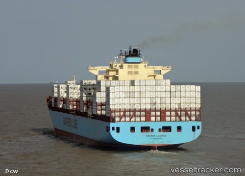
 MAERSK LAVRAS
Current Status
Where is the vessel?
MAERSK LAVRAS is currently in 103 nm W of Gulfmex Lightering Area, based on AIS data received about 1h ago.
Latest AIS update:
Current position: 28.04833° N, 92.74333° W (103 nm W of Gulfmex Lightering Area)
Average speed (last 7 days): Loading…
Average speed (last 30 days): Loading…
Vessel profile: MAERSK LAVRAS is a Container Ship with dimensions m x m.
This page combines live AIS, route history, probable destination signals, nearby traffic, and port activity for practical vessel monitoring.
The current position of vessel MAERSK LAVRAS is 28.04833 lat / -92.74333 lng. Updated: 2026-05-17 22:34:48 UTCNearest reference points:
- 97 nm W of Gulfmex Lightering Area
- 83 nm W of Gulfmex Lightering Area
- 66 nm NW of Gulfmex Lightering Area
Currently sailing under the flag of Denmark ![]()
Details:
Live Vessel MAERSK LAVRAS Analytics (details, animations, etc.)
Recent AIS points (UTC):
2026-05-17 19:07:49 UTC · 28.38833, -93.15500 · SOG 8 kn · COG -1°2026-05-17 19:07:49 UTC · 28.38833, -93.15500 · SOG 8 kn · COG -1°
2026-05-17 21:54:38 UTC · 28.13011, -92.80912 · SOG 8.6 kn · COG 144°
2026-05-17 22:34:48 UTC · 28.04833, -92.74333 · SOG 9 kn · COG -1°