 vesseltracker.com
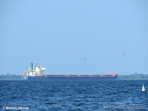
 HB TUCUNARE
Current Status
Where is the vessel?
HB TUCUNARE is currently in 105 nm NE of Tucuma, based on AIS data received less than 1h ago.
Latest AIS update:
Current position: 1.41118° N, 49.32610° W (105 nm NE of Tucuma)
Average speed (last 7 days): Loading…
Average speed (last 30 days): Loading…
Vessel profile: HB TUCUNARE is a Cargo A with dimensions m x m.
This page combines live AIS, route history, probable destination signals, nearby traffic, and port activity for practical vessel monitoring.
The current position of vessel HB TUCUNARE is 1.41118 lat / -49.32610 lng. Updated: 2026-05-18 07:56:17 UTCNearest reference points:
- 70 nm N of Tucuma
- 55 nm N of Tucuma
- Near Santana
Details:
Live Vessel HB TUCUNARE Analytics (details, animations, etc.)
Recent AIS points (UTC):
2026-05-18 04:53:49 UTC · 1.20047, -49.42413 · SOG 2.8 kn · COG 3°2026-05-18 06:04:46 UTC · 1.26722, -49.38960 · SOG 5 kn · COG 341°
2026-05-18 07:56:17 UTC · 1.41118, -49.32610 · SOG 3.5 kn · COG 15°
2026-05-18 07:56:17 UTC · 1.41118, -49.32610 · SOG 3.5 kn · COG 15°