 vesseltracker.com
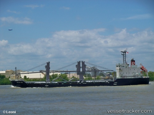
 KLEONIKI
Current Status
Where is the vessel?
KLEONIKI is currently in Near Damietta, based on AIS data received about 1h ago.
Latest AIS update:
Current position: 31.61268° N, 31.76940° E (Near Damietta)
Average speed (last 7 days): Loading…
Average speed (last 30 days): Loading…
Vessel profile: KLEONIKI is a General Cargo with dimensions m x m.
This page combines live AIS, route history, probable destination signals, nearby traffic, and port activity for practical vessel monitoring.
The current position of vessel KLEONIKI is 31.61268 lat / 31.76940 lng. Updated: 2026-05-17 10:13:45 UTCNearest reference points:
- Near Damietta
- 21 nm N of Port Said
- 15 nm N of Port Said
Currently sailing under the flag of Marshall Islands ![]()
Details:
Live Vessel KLEONIKI Analytics (details, animations, etc.)
Recent AIS points (UTC):
2026-05-17 07:22:44 UTC · 31.84030, 31.65038 · SOG 6.2 kn · COG 157°2026-05-17 07:45:15 UTC · 31.80450, 31.66761 · SOG 6.3 kn · COG 158°
2026-05-17 09:26:14 UTC · 31.63065, 31.79006 · SOG 4.9 kn · COG 150°
2026-05-17 10:13:45 UTC · 31.61268, 31.76940 · SOG 0.4 kn · COG 244°