 vesseltracker.com
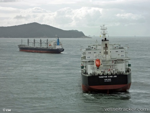
 PU AN TONG
Current Status
Where is the vessel?
PU AN TONG is currently in 343 nm SW of Walvisbaai, based on AIS data received about 2h ago.
Latest AIS update:
Current position: 25.05966° S, 8.68033° E (343 nm SW of Walvisbaai)
Average speed (last 7 days): Loading…
Average speed (last 30 days): Loading…
Vessel profile: PU AN TONG is a Cargo with dimensions m x m.
This page combines live AIS, route history, probable destination signals, nearby traffic, and port activity for practical vessel monitoring.
The current position of vessel PU AN TONG is -25.05966 lat / 8.68033 lng. Updated: 2026-05-18 05:05:05 UTCNearest reference points:
- Open sea, approx. 401 nm off the nearest listed port
- Open sea, approx. 404 nm off the nearest listed port
- Open sea, approx. 402 nm off the nearest listed port
Currently sailing under the flag of China ![]()
Details:
Live Vessel PU AN TONG Analytics (details, animations, etc.)
Recent AIS points (UTC):
2026-05-18 01:58:22 UTC · -24.69900, 8.38983 · SOG 8.9 kn · COG 145°2026-05-18 03:32:32 UTC · -24.88333, 8.53367 · SOG 8.1 kn · COG 143°
2026-05-18 04:45:54 UTC · -25.02250, 8.65067 · SOG 8.5 kn · COG 144°
2026-05-18 05:05:05 UTC · -25.05966, 8.68033 · SOG 8.6 kn · COG 145°