 vesseltracker.com
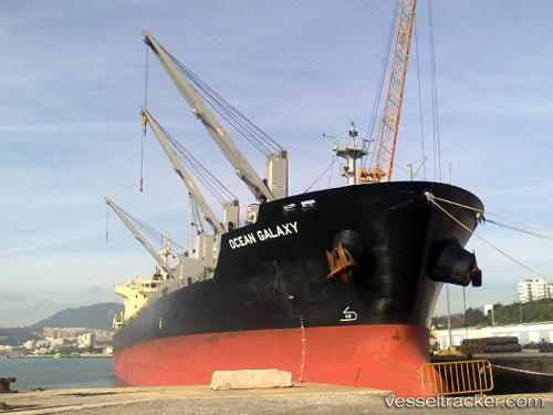
 CHARLES
Current Status
Where is the vessel?
CHARLES is currently in 29 nm SE of Sulina (Port et Zone Franche), based on AIS data received about 4h ago.
Latest AIS update:
Current position: 44.88701° N, 30.23746° E (29 nm SE of Sulina (Port et Zone Franche))
Average speed (last 7 days): Loading…
Average speed (last 30 days): Loading…
Vessel profile: CHARLES is a Bulk Carrier with dimensions m x m.
This page combines live AIS, route history, probable destination signals, nearby traffic, and port activity for practical vessel monitoring.
The current position of vessel CHARLES is 44.88701 lat / 30.23746 lng. Updated: 2026-05-17 23:29:05 UTCNearest reference points:
- 13 nm E of Sulina (Port et Zone Franche)
- 12 nm SE of Sulina (Port et Zone Franche)
- Near Ust-Dunaisk/Vylkove
Currently sailing under the flag of Marshall Islands ![]()
Details:
Live Vessel CHARLES Analytics (details, animations, etc.)
Recent AIS points (UTC):
2026-05-17 21:39:41 UTC · 44.88805, 30.23757 · SOG 0.1 kn · COG 258°2026-05-17 23:29:05 UTC · 44.88701, 30.23746 · SOG 0 kn · COG 299°
2026-05-17 23:29:05 UTC · 44.88701, 30.23746 · SOG 0 kn · COG 299°
2026-05-17 23:29:05 UTC · 44.88701, 30.23746 · SOG 0 kn · COG 299°