 vesseltracker.com
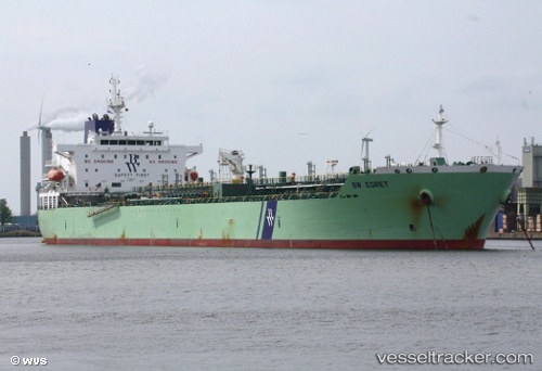
Bw Egret
Current StatusWhere is the vessel?
Bw Egret is currently in 115 nm SW of Cap Skiring, based on AIS data received less than 1h ago.
Latest AIS update:
Current position: 10.87074° N, 17.95325° W (115 nm SW of Cap Skiring)
Average speed (last 7 days): Loading…
Average speed (last 30 days): Loading…
Vessel profile: Bw Egret is a Chemical Oil Products Tanker with dimensions 32m x 183m.
This page combines live AIS, route history, probable destination signals, nearby traffic, and port activity for practical vessel monitoring.
The current position of vessel Bw Egret is 10.87074 lat / -17.95325 lng. Updated: 2026-05-18 04:07:09 UTCNearest reference points:
- 144 nm SW of Bubaque
- 48 nm W of Cap Skiring
- Near San Francisco Libre
Details:
Live Vessel Bw Egret Analytics (details, animations, etc.)
Recent AIS points (UTC):
2026-05-17 23:31:39 UTC · 9.83034, -17.73871 · SOG 13.7 kn · COG 347°2026-05-18 01:29:53 UTC · 10.27513, -17.83420 · SOG 14.2 kn · COG 347°
2026-05-18 01:35:37 UTC · 10.29758, -17.83882 · SOG 14.4 kn · COG 348°
2026-05-18 04:07:09 UTC · 10.87074, -17.95325 · SOG 13.9 kn · COG 350°