 vesseltracker.com
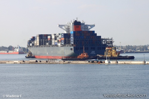
Tirua
Current StatusWhere is the vessel?
Tirua is currently in 389 nm W of Luderitz Bay, based on AIS data received about 1h ago.
Latest AIS update:
Current position: 28.55324° S, 8.17531° E (389 nm W of Luderitz Bay)
Average speed (last 7 days): Loading…
Average speed (last 30 days): Loading…
Vessel profile: Tirua is a Container Ship with dimensions 46m x 300m.
This page combines live AIS, route history, probable destination signals, nearby traffic, and port activity for practical vessel monitoring.
The current position of vessel Tirua is -28.55324 lat / 8.17531 lng. Updated: 2026-05-18 07:51:11 UTCNearest reference points:
- Open sea, approx. 402 nm off the nearest listed port
- Open sea, approx. 405 nm off the nearest listed port
- Open sea, approx. 406 nm off the nearest listed port
Details:
Live Vessel Tirua Analytics (details, animations, etc.)
Recent AIS points (UTC):
2026-05-18 04:48:13 UTC · -29.16245, 9.06350 · SOG 19.3 kn · COG 309°2026-05-18 05:33:30 UTC · -29.01067, 8.84527 · SOG 19.1 kn · COG 309°
2026-05-18 07:39:57 UTC · -28.59146, 8.22996 · SOG 19.5 kn · COG 309°
2026-05-18 07:51:11 UTC · -28.55324, 8.17531 · SOG 19.5 kn · COG 310°