 vesseltracker.com
 MIA
MIA
Current Status
Where is the vessel?
MIA is currently in 45 nm SE of Cape Agulhas, based on AIS data received about 1h ago.
Latest AIS update:
Current position: 35.17948° S, 20.82067° E (45 nm SE of Cape Agulhas)
Average speed (last 7 days): Loading…
Average speed (last 30 days): Loading…
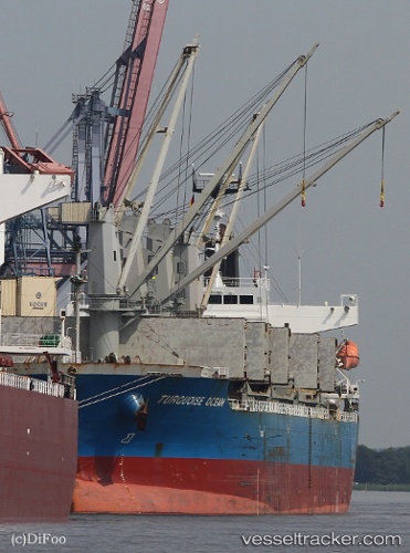
Vessel profile: MIA is a Bulk Carrier with dimensions m x m.
This page combines live AIS, route history, probable destination signals, nearby traffic, and port activity for practical vessel monitoring.
The current position of vessel MIA is -35.17948 lat / 20.82067 lng. Updated: 2026-05-17 07:45:02 UTCNearest reference points:
- 37 nm S of Mosselbaai
- 16 nm S of Mosselbaai
- Near Mosselbaai
Currently sailing under the flag of San Marino ![]()
Details:
Live Vessel MIA Analytics (details, animations, etc.)
Recent AIS points (UTC):
2026-05-17 04:31:13 UTC · -35.16667, 20.11604 · SOG 10.9 kn · COG 97°2026-05-17 06:17:47 UTC · -35.17908, 20.50182 · SOG 10.8 kn · COG 94°
2026-05-17 07:24:34 UTC · -35.18225, 20.74548 · SOG 10.8 kn · COG 89°
2026-05-17 07:45:02 UTC · -35.17948, 20.82067 · SOG 10.8 kn · COG 86°