 vesseltracker.com
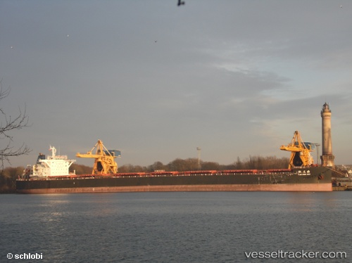
 Tao Hua Hai
Current Status
Where is the vessel?
Tao Hua Hai is currently in 86 nm SE of Labuan Haji, based on AIS data received less than 1h ago.
Latest AIS update:
Current position: 3.45667° N, 119.62333° E (86 nm SE of Labuan Haji)
Average speed (last 7 days): Loading…
Average speed (last 30 days): Loading…
Vessel profile: Tao Hua Hai is a Bulk Carrier with dimensions 254m x 43m.
This page combines live AIS, route history, probable destination signals, nearby traffic, and port activity for practical vessel monitoring.
The current position of vessel Tao Hua Hai is 3.45667 lat / 119.62333 lng. Updated: 2026-05-17 18:16:16 UTCNearest reference points:
- 80 nm SE of Labuan Haji
- 43 nm E of Sibuko Bay
- 81 nm E of Muara Pantai
Currently sailing under the flag of China ![]()
Tao Hua Hai built in 2012 year
Deadweight:
115184 tDetails:
Live Vessel Tao Hua Hai Analytics (details, animations, etc.)
Recent AIS points (UTC):
2026-05-17 14:20:55 UTC · 2.81500, 119.56333 · SOG 10 kn · COG -1°2026-05-17 15:57:28 UTC · 3.09333, 119.58500 · SOG 10 kn · COG -1°
2026-05-17 16:09:32 UTC · 3.12833, 119.58833 · SOG 10 kn · COG -1°
2026-05-17 18:16:16 UTC · 3.45667, 119.62333 · SOG 9 kn · COG -1°