 vesseltracker.com
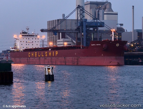
 HORUS
HORUS
Current Status
Where is the vessel?
HORUS is currently in 20 nm NE of Sebang, based on AIS data received about 1h ago.
Latest AIS update:
Current position: 6.21167° N, 95.43833° E (20 nm NE of Sebang)
Average speed (last 7 days): Loading…
Average speed (last 30 days): Loading…
Vessel profile: HORUS is a Bulk Carrier with dimensions 229m x 32m.
This page combines live AIS, route history, probable destination signals, nearby traffic, and port activity for practical vessel monitoring.
The current position of vessel HORUS is 6.21167 lat / 95.43833 lng. Updated: 2026-05-17 10:18:46 UTCNearest reference points:
- 21 nm N of Sebang
- 28 nm NW of Sebang
- 53 nm NE of Sebang
Currently sailing under the flag of Marshall Is ![]()
HORUS built in 2012 year
Deadweight:
80545 tDetails:
Live Vessel HORUS Analytics (details, animations, etc.)
Recent AIS points (UTC):
2026-05-17 07:12:43 UTC · 6.29500, 94.91833 · SOG 10 kn · COG -1°2026-05-17 07:25:30 UTC · 6.28869, 94.95715 · SOG 10.8 kn · COG 103°
2026-05-17 09:33:45 UTC · 6.23833, 95.31833 · SOG 10 kn · COG -1°
2026-05-17 10:18:46 UTC · 6.21167, 95.43833 · SOG 10 kn · COG -1°