 vesseltracker.com
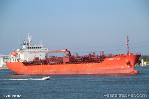
 XING TONG KAI YUAN
Current Status
Where is the vessel?
XING TONG KAI YUAN is currently in 23 nm W of Air Parcel Sorting Office/Mumbai, based on AIS data received about 1h ago.
Latest AIS update:
Current position: 18.96833° N, 72.40214° E (23 nm W of Air Parcel Sorting Office/Mumbai)
Average speed (last 7 days): Loading…
Average speed (last 30 days): Loading…
Vessel profile: XING TONG KAI YUAN is a Oil/Chemical Tanker with dimensions m x m.
This page combines live AIS, route history, probable destination signals, nearby traffic, and port activity for practical vessel monitoring.
The current position of vessel XING TONG KAI YUAN is 18.96833 lat / 72.40214 lng. Updated: 2026-05-18 01:56:04 UTCNearest reference points:
- Near HNB SEZ/Mumbai
- Near Mumbai
- Near NHAVA SHEVA
Currently sailing under the flag of China ![]()
Details:
Live Vessel XING TONG KAI YUAN Analytics (details, animations, etc.)
Recent AIS points (UTC):
2026-05-17 22:05:07 UTC · 18.94673, 72.40422 · SOG 0.4 kn · COG 351°2026-05-17 23:32:08 UTC · 18.94672, 72.40432 · SOG 0.4 kn · COG 349°
2026-05-18 01:26:22 UTC · 18.97057, 72.39014 · SOG 1.3 kn · COG 21°
2026-05-18 01:56:04 UTC · 18.96833, 72.40214 · SOG 1.5 kn · COG 23°