 vesseltracker.com
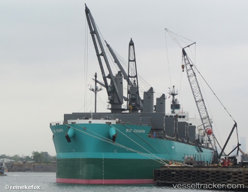
 CHANNEL PEARL
Current Status
Where is the vessel?
CHANNEL PEARL is currently in Near Apollo Beach, based on AIS data received less than 1h ago.
Latest AIS update:
Current position: 27.80789° N, 82.40790° W (Near Apollo Beach)
Average speed (last 7 days): Loading…
Average speed (last 30 days): Loading…
Vessel profile: CHANNEL PEARL is a Cargo with dimensions m x m.
This page combines live AIS, route history, probable destination signals, nearby traffic, and port activity for practical vessel monitoring.
The current position of vessel CHANNEL PEARL is 27.80789 lat / -82.40790 lng. Updated: 2026-05-18 07:01:07 UTCNearest reference points:
- Near Tampa
- Near St. Petersburg
- Near Port Manatee
Currently sailing under the flag of Bahamas ![]()
Details:
Live Vessel CHANNEL PEARL Analytics (details, animations, etc.)
Recent AIS points (UTC):
2026-05-18 04:25:05 UTC · 27.80789, -82.40792 · SOG 0 kn · COG 270°2026-05-18 04:40:06 UTC · 27.80788, -82.40792 · SOG 0 kn · COG 270°
2026-05-18 06:04:05 UTC · 27.80789, -82.40793 · SOG 0 kn · COG 269°
2026-05-18 07:01:07 UTC · 27.80789, -82.40790 · SOG 0 kn · COG 269°