 vesseltracker.com
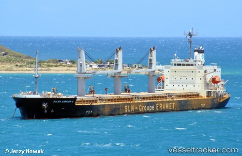
 JULES GARNIER II
Current Status
Where is the vessel?
JULES GARNIER II is currently in 15 nm W of Ducos, based on AIS data received about 1h ago.
Latest AIS update:
Current position: 22.19214° S, 166.18381° E (15 nm W of Ducos)
Average speed (last 7 days): Loading…
Average speed (last 30 days): Loading…
Vessel profile: JULES GARNIER II is a Cargo with dimensions m x m.
This page combines live AIS, route history, probable destination signals, nearby traffic, and port activity for practical vessel monitoring.
The current position of vessel JULES GARNIER II is -22.19214 lat / 166.18381 lng. Updated: 2026-05-18 08:11:10 UTCNearest reference points:
- Near Noumea
- 39 nm E of Ouvea
Currently sailing under the flag of Marshall Islands ![]()
Details:
Live Vessel JULES GARNIER II Analytics (details, animations, etc.)
Recent AIS points (UTC):
2026-05-18 04:22:00 UTC · -21.90763, 165.59531 · SOG 9.9 kn · COG 129°2026-05-18 05:59:31 UTC · -22.07616, 165.81850 · SOG 10 kn · COG 130°
2026-05-18 07:39:31 UTC · -22.16937, 166.09174 · SOG 10.5 kn · COG 103°
2026-05-18 08:11:10 UTC · -22.19214, 166.18381 · SOG 9.3 kn · COG 112°