 vesseltracker.com
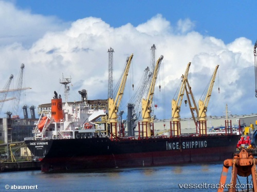
 MARIGOLD
Current Status
Where is the vessel?
MARIGOLD is currently in 201 nm N of Diego Garcia, based on AIS data received about 2h ago.
Latest AIS update:
Current position: 4.18426° S, 71.26240° E (201 nm N of Diego Garcia)
Average speed (last 7 days): Loading…
Average speed (last 30 days): Loading…
Vessel profile: MARIGOLD is a Bulk Carrier with dimensions m x m.
This page combines live AIS, route history, probable destination signals, nearby traffic, and port activity for practical vessel monitoring.
The current position of vessel MARIGOLD is -4.18426 lat / 71.26240 lng. Updated: 2026-05-18 01:54:45 UTCNearest reference points:
- 222 nm SW of Gan
- 147 nm W of Diego Garcia
Currently sailing under the flag of Barbados ![]()
Details:
Live Vessel MARIGOLD Analytics (details, animations, etc.)
Recent AIS points (UTC):
2026-05-17 22:00:43 UTC · -3.67833, 71.66667 · SOG 10 kn · COG -1°2026-05-18 00:09:46 UTC · -3.95641, 71.44191 · SOG 9.8 kn · COG 218°
2026-05-18 01:25:52 UTC · -4.12167, 71.31167 · SOG 10 kn · COG -1°
2026-05-18 01:54:45 UTC · -4.18426, 71.26240 · SOG 9.7 kn · COG 220°