 vesseltracker.com
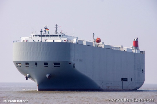
 Galveston Highway
Current Status
Where is the vessel?
Galveston Highway is currently in 12 nm SW of Cockburn Town, based on AIS data received less than 1h ago.
Latest AIS update:
Current position: 23.90473° N, 74.69557° W (12 nm SW of Cockburn Town)
Average speed (last 7 days): Loading…
Average speed (last 30 days): Loading…
Vessel profile: Galveston Highway is a Vehicles Carrier with dimensions 199m x 32m.
This page combines live AIS, route history, probable destination signals, nearby traffic, and port activity for practical vessel monitoring.
The current position of vessel Galveston Highway is 23.90473 lat / -74.69557 lng. Updated: 2026-05-17 07:19:24 UTCNearest reference points:
- Near Great Exuma Island
- 31 nm E of Harbour Island
- 30 nm SW of Cape Eleuthera
Currently sailing under the flag of Panama ![]()
Details:
Live Vessel Galveston Highway Analytics (details, animations, etc.)
Recent AIS points (UTC):
2026-05-17 03:59:14 UTC · 23.14117, -74.62334 · SOG 13.5 kn · COG 2°2026-05-17 05:14:15 UTC · 23.43227, -74.61108 · SOG 14.2 kn · COG 7°
2026-05-17 05:20:01 UTC · 23.45537, -74.60954 · SOG 14.4 kn · COG 7°
2026-05-17 07:19:24 UTC · 23.90473, -74.69557 · SOG 13.5 kn · COG 326°