 vesseltracker.com
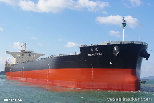
 Hakutaka
Current Status
Where is the vessel?
Hakutaka is currently in Near HITACHINAKA, based on AIS data received less than 1h ago.
Latest AIS update:
Current position: 36.43521° N, 140.62798° E (Near HITACHINAKA)
Average speed (last 7 days): Loading…
Average speed (last 30 days): Loading…
Vessel profile: Hakutaka is a Bulk Carrier with dimensions 235m x 235m.
This page combines live AIS, route history, probable destination signals, nearby traffic, and port activity for practical vessel monitoring.
The current position of vessel Hakutaka is 36.43521 lat / 140.62798 lng. Updated: 2026-05-17 20:18:51 UTCNearest reference points:
- Near Mito
- Near KASHIMA
- 12 nm E of CHOSHI
Currently sailing under the flag of Liberia ![]()
Details:
Live Vessel Hakutaka Analytics (details, animations, etc.)
Recent AIS points (UTC):
2026-05-17 16:30:51 UTC · 36.43519, 140.62798 · SOG 0 kn · COG 1°2026-05-17 17:42:52 UTC · 36.43520, 140.62798 · SOG 0 kn · COG 1°
2026-05-17 19:42:52 UTC · 36.43521, 140.62798 · SOG 0 kn · COG 1°
2026-05-17 20:18:51 UTC · 36.43521, 140.62798 · SOG 0 kn · COG 1°