 vesseltracker.com
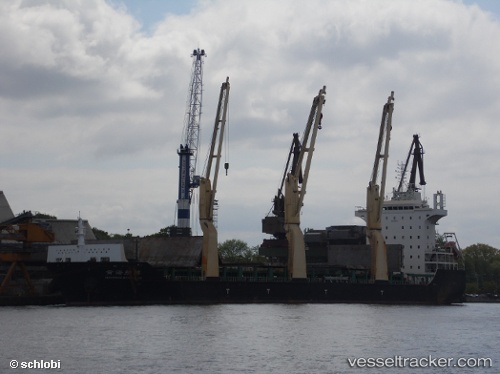
 BAHRI RIYADH
Current Status
Where is the vessel?
BAHRI RIYADH is currently in 74 nm W of Bentota River Apt, based on AIS data received less than 1h ago.
Latest AIS update:
Current position: 6.07009° N, 78.78725° E (74 nm W of Bentota River Apt)
Average speed (last 7 days): Loading…
Average speed (last 30 days): Loading…
Vessel profile: BAHRI RIYADH is a Cargo with dimensions m x m.
This page combines live AIS, route history, probable destination signals, nearby traffic, and port activity for practical vessel monitoring.
The current position of vessel BAHRI RIYADH is 6.07009 lat / 78.78725 lng. Updated: 2026-05-18 06:01:39 UTCNearest reference points:
- 67 nm SW of Moratuwa
- 82 nm W of Moratuwa
- 90 nm W of Moratuwa
Currently sailing under the flag of Saudi Arabia ![]()
Details:
Live Vessel BAHRI RIYADH Analytics (details, animations, etc.)
Recent AIS points (UTC):
2026-05-18 01:47:59 UTC · 6.25802, 78.00659 · SOG 11 kn · COG 104°2026-05-18 03:04:56 UTC · 6.20009, 78.23963 · SOG 11.4 kn · COG 103°
2026-05-18 03:04:56 UTC · 6.20009, 78.23963 · SOG 11.4 kn · COG 103°
2026-05-18 06:01:39 UTC · 6.07009, 78.78725 · SOG 11.4 kn · COG 111°