 vesseltracker.com
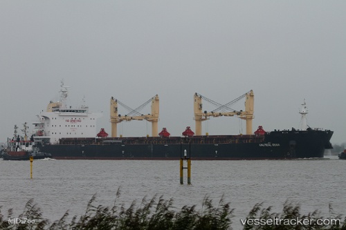
 PAN HARVEST
Current Status
Where is the vessel?
PAN HARVEST is currently in 18 nm SW of Hongdo, based on AIS data received less than 1h ago.
Latest AIS update:
Current position: 34.44967° N, 124.90665° E (18 nm SW of Hongdo)
Average speed (last 7 days): Loading…
Average speed (last 30 days): Loading…
Vessel profile: PAN HARVEST is a Bulk Carrier with dimensions 200m x 200m.
This page combines live AIS, route history, probable destination signals, nearby traffic, and port activity for practical vessel monitoring.
The current position of vessel PAN HARVEST is 34.44967 lat / 124.90665 lng. Updated: 2026-05-18 01:42:00 UTCNearest reference points:
- 17 nm W of Chuja
- 47 nm W of Hallim
- 77 nm W of Hongdo
Currently sailing under the flag of Panama ![]()
PAN HARVEST built in 2015 year
Deadweight:
63577 tDetails:
Live Vessel PAN HARVEST Analytics (details, animations, etc.)
Recent AIS points (UTC):
2026-05-17 23:02:11 UTC · 34.98624, 125.14620 · SOG 13.3 kn · COG 201°2026-05-17 23:43:10 UTC · 34.84443, 125.08678 · SOG 13 kn · COG 201°
2026-05-18 01:41:10 UTC · 34.45237, 124.90782 · SOG 12.3 kn · COG 197°
2026-05-18 01:42:00 UTC · 34.44967, 124.90665 · SOG 12.3 kn · COG 196°