 vesseltracker.com
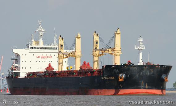
 PAN IMPERIAL
Current Status
Where is the vessel?
PAN IMPERIAL is currently in 205 nm N of Port Mathurin, based on AIS data received about 2h ago.
Latest AIS update:
Current position: 16.48997° S, 62.15556° E (205 nm N of Port Mathurin)
Average speed (last 7 days): Loading…
Average speed (last 30 days): Loading…
Vessel profile: PAN IMPERIAL is a Bulk Carrier with dimensions 199m x 199m.
This page combines live AIS, route history, probable destination signals, nearby traffic, and port activity for practical vessel monitoring.
The current position of vessel PAN IMPERIAL is -16.48997 lat / 62.15556 lng. Updated: 2026-05-17 22:06:29 UTCNearest reference points:
- 219 nm NW of Port Mathurin
- 241 nm N of Port Mathurin
- 106 nm NW of Port Mathurin
Currently sailing under the flag of Panama ![]()
PAN IMPERIAL built in 2016 year
Deadweight:
63567 tDetails:
Live Vessel PAN IMPERIAL Analytics (details, animations, etc.)
Recent AIS points (UTC):
2026-05-17 19:19:17 UTC · -16.24138, 62.66699 · SOG 11.5 kn · COG 240°2026-05-17 19:32:38 UTC · -16.26083, 62.62559 · SOG 12.1 kn · COG 239°
2026-05-17 21:19:55 UTC · -16.42301, 62.29713 · SOG 11.6 kn · COG 238°
2026-05-17 22:06:29 UTC · -16.48997, 62.15556 · SOG 11.7 kn · COG 240°