 vesseltracker.com
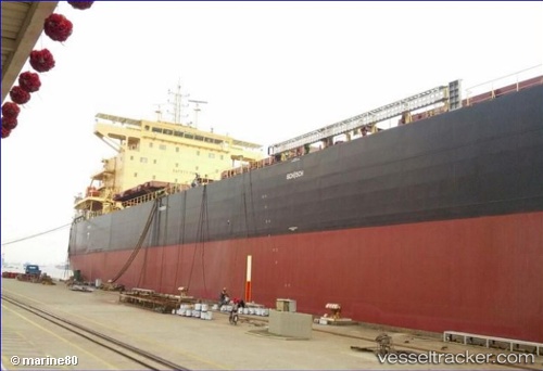
Toba
Current StatusWhere is the vessel?
Toba is currently in 14 nm S of Guarujá, based on AIS data received less than 1h ago.
Latest AIS update:
Current position: 24.21515° S, 46.34631° W (14 nm S of Guarujá)
Average speed (last 7 days): Loading…
Average speed (last 30 days): Loading…
Vessel profile: Toba is a Bulk Carrier with dimensions 32m x 229m.
This page combines live AIS, route history, probable destination signals, nearby traffic, and port activity for practical vessel monitoring.
The current position of vessel Toba is -24.21515 lat / -46.34631 lng. Updated: 2026-05-18 06:11:24 UTCNearest reference points:
- Near Guarujá
- Near Santos
- 36 nm S of Guarujá
Details:
Live Vessel Toba Analytics (details, animations, etc.)
Recent AIS points (UTC):
2026-05-18 01:56:21 UTC · -24.21674, -46.34624 · SOG 0.8 kn · COG 61°2026-05-18 03:38:24 UTC · -24.21646, -46.34644 · SOG 0.5 kn · COG 69°
2026-05-18 04:56:28 UTC · -24.21606, -46.34628 · SOG 0.8 kn · COG 73°
2026-05-18 06:11:24 UTC · -24.21515, -46.34631 · SOG 0.4 kn · COG 98°