 vesseltracker.com
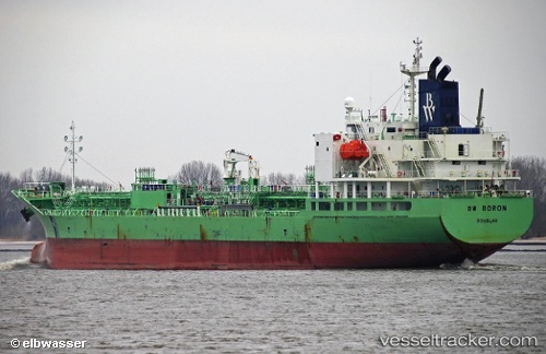
 Indigo Ray
Current Status
Where is the vessel?
Indigo Ray is currently in Near Texas City, based on AIS data received less than 1h ago.
Latest AIS update:
Current position: 29.36151° N, 94.91684° W (Near Texas City)
Average speed (last 7 days): Loading…
Average speed (last 30 days): Loading…
Vessel profile: Indigo Ray is a Chemical Oil Products Tanker with dimensions 147m x 147m.
This page combines live AIS, route history, probable destination signals, nearby traffic, and port activity for practical vessel monitoring.
The current position of vessel Indigo Ray is 29.36151 lat / -94.91684 lng. Updated: 2026-05-17 22:38:37 UTCNearest reference points:
- Near Texas City
- Near Port Bolivar
- Near Clear Lake Shores
Currently sailing under the flag of Liberia ![]()
Details:
Live Vessel Indigo Ray Analytics (details, animations, etc.)
Recent AIS points (UTC):
2026-05-17 19:11:37 UTC · 29.36150, -94.91682 · SOG 0 kn · COG 180°2026-05-17 19:35:35 UTC · 29.36150, -94.91685 · SOG 0 kn · COG 180°
2026-05-17 21:56:37 UTC · 29.36155, -94.91683 · SOG 0 kn · COG 180°
2026-05-17 22:38:37 UTC · 29.36151, -94.91684 · SOG 0 kn · COG 180°