 vesseltracker.com
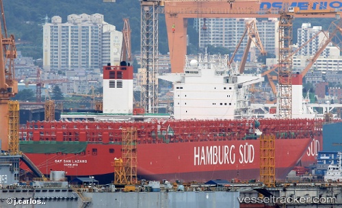
 Cap San Lazaro
Current Status
Where is the vessel?
Cap San Lazaro is currently in 165 nm SE of Fort Dauphin, based on AIS data received about 1h ago.
Latest AIS update:
Current position: 26.51670° S, 49.56823° E (165 nm SE of Fort Dauphin)
Average speed (last 7 days): Loading…
Average speed (last 30 days): Loading…
Vessel profile: Cap San Lazaro is a Container Ship with dimensions 332m x 48m.
This page combines live AIS, route history, probable destination signals, nearby traffic, and port activity for practical vessel monitoring.
The current position of vessel Cap San Lazaro is -26.51670 lat / 49.56823 lng. Updated: 2026-05-17 17:57:55 UTCNearest reference points:
- 271 nm E of Fort Dauphin
Currently sailing under the flag of Marshall Is ![]()
Details:
Live Vessel Cap San Lazaro Analytics (details, animations, etc.)
Recent AIS points (UTC):
2026-05-17 13:39:06 UTC · -26.10333, 50.77500 · SOG 16 kn · COG -1°2026-05-17 15:54:10 UTC · -26.31995, 50.14582 · SOG 15.8 kn · COG 248°
2026-05-17 16:11:42 UTC · -26.34738, 50.06463 · SOG 16 kn · COG 249°
2026-05-17 17:57:55 UTC · -26.51670, 49.56823 · SOG 16.3 kn · COG 249°