 vesseltracker.com
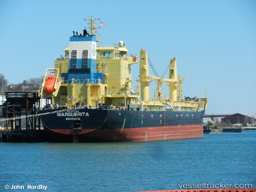
 UBC BARI
Current Status
Where is the vessel?
UBC BARI is currently in 108 nm SE of Bald Rock, based on AIS data received less than 1h ago.
Latest AIS update:
Current position: 43.02167° N, 62.09667° W (108 nm SE of Bald Rock)
Average speed (last 7 days): Loading…
Average speed (last 30 days): Loading…
Vessel profile: UBC BARI is a Cargo with dimensions m x m.
This page combines live AIS, route history, probable destination signals, nearby traffic, and port activity for practical vessel monitoring.
The current position of vessel UBC BARI is 43.02167 lat / -62.09667 lng. Updated: 2026-05-18 04:41:16 UTCNearest reference points:
- 116 nm SE of Sheet Harbour
- 31 nm SE of Bald Rock
- 20 nm S of Head of Jeddore
Details:
Live Vessel UBC BARI Analytics (details, animations, etc.)
Recent AIS points (UTC):
2026-05-18 01:08:18 UTC · 42.40500, -62.78667 · SOG 12 kn · COG -1°2026-05-18 01:56:17 UTC · 42.53833, -62.64333 · SOG 13 kn · COG -1°
2026-05-18 03:59:16 UTC · 42.90167, -62.23667 · SOG 13 kn · COG -1°
2026-05-18 04:41:16 UTC · 43.02167, -62.09667 · SOG 13 kn · COG -1°