 vesseltracker.com
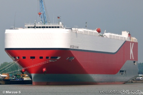
 Horizon Highway
Current Status
Where is the vessel?
Horizon Highway is currently in 250 nm E of Tsuzuki Ku, based on AIS data received less than 1h ago.
Latest AIS update:
Current position: 35.29418° N, 134.46175° W (250 nm E of Tsuzuki Ku)
Average speed (last 7 days): Loading…
Average speed (last 30 days): Loading…
Vessel profile: Horizon Highway is a Vehicles Carrier with dimensions 199m x 38m.
This page combines live AIS, route history, probable destination signals, nearby traffic, and port activity for practical vessel monitoring.
The current position of vessel Horizon Highway is 35.29418 lat / -134.46175 lng. Updated: 2026-05-18 04:01:09 UTCCurrently sailing under the flag of Panama ![]()
Details:
Live Vessel Horizon Highway Analytics (details, animations, etc.)
Recent AIS points (UTC):
2026-05-18 01:14:21 UTC · 35.73143, -135.30092 · SOG 17.9 kn · COG 112°2026-05-18 01:23:24 UTC · 35.71336, -135.25133 · SOG 17.6 kn · COG 113°
2026-05-18 03:21:49 UTC · 35.40351, -134.65366 · SOG 17.6 kn · COG 124°
2026-05-18 04:01:09 UTC · 35.29418, -134.46175 · SOG 17.1 kn · COG 120°