 vesseltracker.com
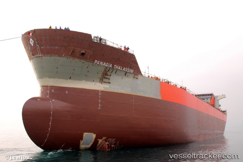
Panagia Thalassini
Current StatusWhere is the vessel?
Panagia Thalassini is currently in 11 nm SE of Iruma, based on AIS data received less than 1h ago.
Latest AIS update:
Current position: 34.51500° N, 138.98833° E (11 nm SE of Iruma)
Average speed (last 7 days): Loading…
Average speed (last 30 days): Loading…
Vessel profile: Panagia Thalassini is a Chemical Oil Products Tanker with dimensions 32m x 182m.
This page combines live AIS, route history, probable destination signals, nearby traffic, and port activity for practical vessel monitoring.
The current position of vessel Panagia Thalassini is 34.51500 lat / 138.98833 lng. Updated: 2026-05-17 04:14:48 UTCNearest reference points:
- 10 nm SE of Iruma
- Near Iruma
- Near Toshima/Tokyo
Details:
Live Vessel Panagia Thalassini Analytics (details, animations, etc.)
Recent AIS points (UTC):
2026-05-17 01:14:18 UTC · 34.21167, 138.29333 · SOG 13 kn · COG -1°2026-05-17 02:08:25 UTC · 34.28833, 138.50333 · SOG 13 kn · COG -1°
2026-05-17 03:40:13 UTC · 34.45020, 138.85622 · SOG 13.2 kn · COG 60°
2026-05-17 04:14:48 UTC · 34.51500, 138.98833 · SOG 13 kn · COG -1°