 vesseltracker.com
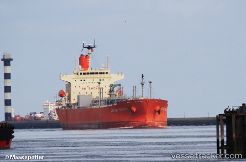
 GRANDE RIVIERE
Current Status
Where is the vessel?
GRANDE RIVIERE is currently in 247 nm NE of Sam Lords Castle, based on AIS data received less than 1h ago.
Latest AIS update:
Current position: 15.21258° N, 55.78257° W (247 nm NE of Sam Lords Castle)
Average speed (last 7 days): Loading…
Average speed (last 30 days): Loading…
Vessel profile: GRANDE RIVIERE is a Tanker with dimensions m x m.
This page combines live AIS, route history, probable destination signals, nearby traffic, and port activity for practical vessel monitoring.
The current position of vessel GRANDE RIVIERE is 15.21258 lat / -55.78257 lng. Updated: 2026-05-16 21:54:59 UTCNearest reference points:
- 267 nm E of La Désirade
- Open sea, approx. 402 nm off the nearest listed port
- Open sea, approx. 403 nm off the nearest listed port
Currently sailing under the flag of Panama ![]()
Details:
Live Vessel GRANDE RIVIERE Analytics (details, animations, etc.)
Recent AIS points (UTC):
2026-05-16 17:19:41 UTC · 15.74440, -54.91824 · SOG 12.8 kn · COG 237°2026-05-16 19:11:41 UTC · 15.52626, -55.27253 · SOG 12.8 kn · COG 236°
2026-05-16 21:53:19 UTC · 15.21583, -55.77745 · SOG 12.5 kn · COG 235°
2026-05-16 21:54:59 UTC · 15.21258, -55.78257 · SOG 12.5 kn · COG 235°