 vesseltracker.com
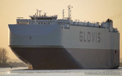
 Glovis Star
Current Status
Where is the vessel?
Glovis Star is currently in 44 nm S of Niikappu, based on AIS data received less than 1h ago.
Latest AIS update:
Current position: 41.65667° N, 142.03500° E (44 nm S of Niikappu)
Average speed (last 7 days): Loading…
Average speed (last 30 days): Loading…
Vessel profile: Glovis Star is a Vehicles Carrier with dimensions 200m x 36m.
This page combines live AIS, route history, probable destination signals, nearby traffic, and port activity for practical vessel monitoring.
The current position of vessel Glovis Star is 41.65667 lat / 142.03500 lng. Updated: 2026-05-17 09:35:46 UTCNearest reference points:
- 23 nm NE of SAI
- 11 nm NW of Yokohama, Aomori
- Near Yokohama, Aomori
Currently sailing under the flag of Bahamas ![]()
Details:
Live Vessel Glovis Star Analytics (details, animations, etc.)
Recent AIS points (UTC):
2026-05-17 06:03:18 UTC · 41.68346, 143.12325 · SOG 14.2 kn · COG 262°2026-05-17 07:27:32 UTC · 41.66457, 142.68912 · SOG 13.6 kn · COG 267°
2026-05-17 08:27:21 UTC · 41.66164, 142.38515 · SOG 13.7 kn · COG 269°
2026-05-17 09:35:46 UTC · 41.65667, 142.03500 · SOG 13 kn · COG -1°